
What does industrial IoT mean here?
A smart city creates value from field data when that data becomes a working service
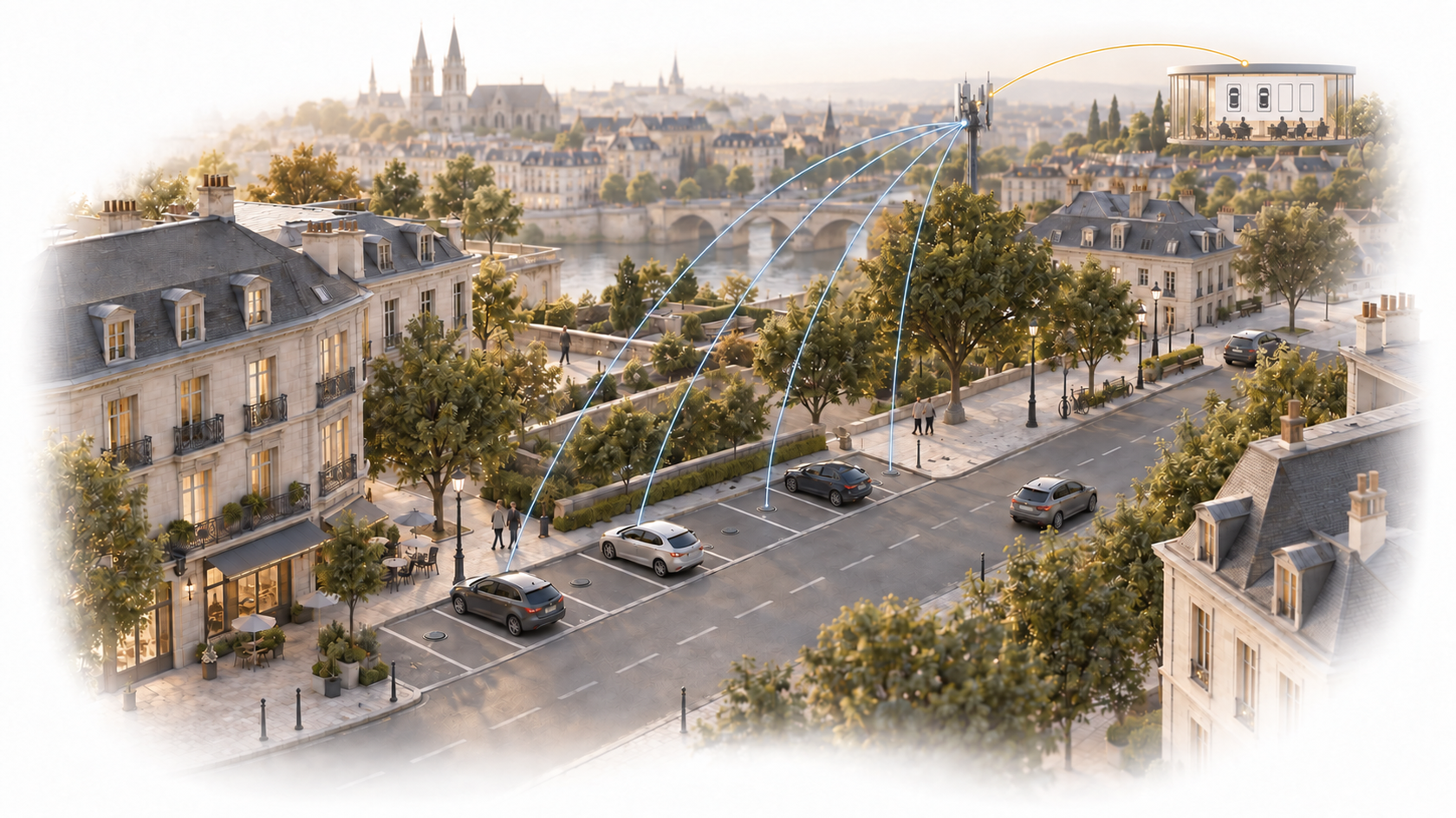
On-street parking is a clear example of industrial IoT in the urban environment. Data from many distributed measurement points must reach operating, information and enforcement systems reliably. The state of a parking space can then become a shared data source for public-space management, mobility and resident services rather than an isolated sensor signal.
Industry context
70%+of EU citizens live in urban areas, which generate 23% of transport greenhouse-gas emissions.
What does this mean for digitalisation?
Parking digitalisation creates value when it is not a technology island, but one data source for mobility, access and public-space decisions.
Source:European Commission: Sustainable urban mobility (2026)
Urban-mobility context; it does not by itself prove the emissions impact of a parking system.
The digital opportunity
Not one technology, but a connected operational picture
Value emerges when field data is connected to the industry’s actual decision contexts.
Real-time public-space status
Space-level data shows current occupancy, while historical time series reveal how different areas are used.
Driver information
Verified occupancy data can appear in mobile applications, street guidance displays or other urban mobility services.
Operations and enforcement
Parking-inspector routes, investigation of irregular situations and operating decisions can use both real-time and historical data.
Controlled access
Optional vehicle identification, connected to a permit register, can support checks for spaces reserved permanently or periodically for local residents.
Where can it improve visibility?
From field signal to useful context
Less unnecessary searching
Current information about free spaces can shorten parking searches and reduce the traffic they generate.
Data-informed public-space management
Current status, trends and spatial differences can support capacity and regulatory decisions.
Flexible parking rules
Rules tied to location, time period and identified entitlement can become a digitally verifiable service.
The data path
From measurement point to operational decision
Intelliport IPS-404
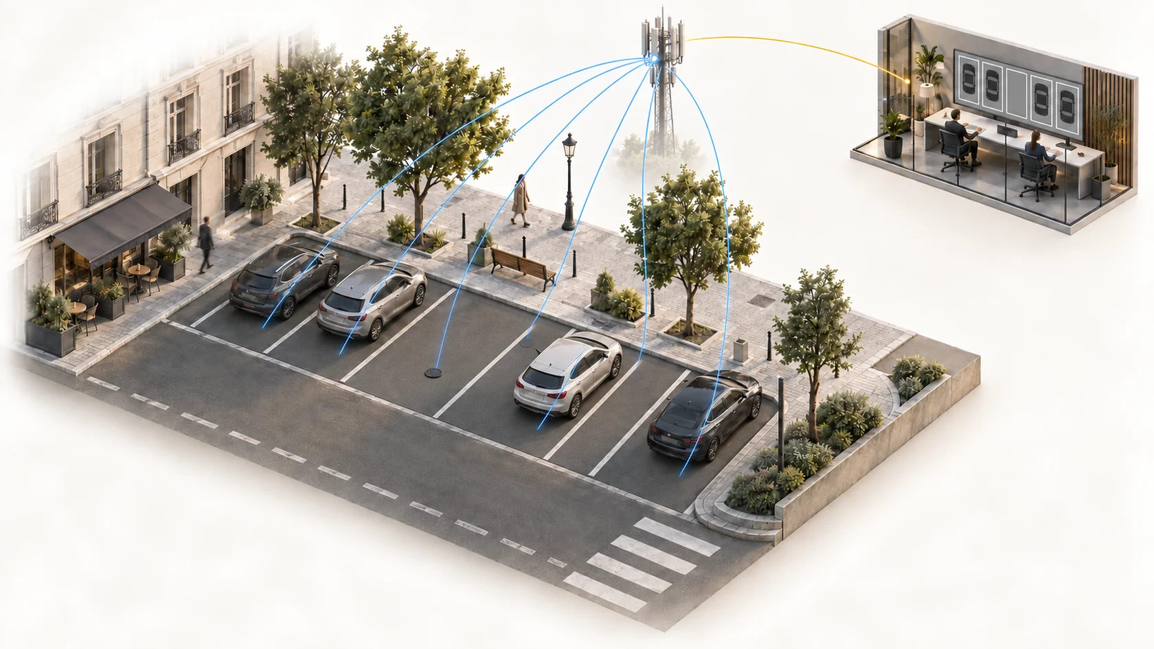
Radar and magnetic occupancy detection, optional BLE/iBeacon vehicle identification and a direct NB-IoT connection over the mobile network.
Sensor management and API
Central management of the device fleet, data quality and operating status, followed by controlled delivery to receiving systems.
Smart Lynx service layer
Parking management system, Parker mobile application, street guidance displays and related integrations.
Where does Intelliport fit?
In the layer between the field point and usable data
Intelliport focuses on connectivity, device management and system integration adapted to the actual environment. We do not replace the industry process, professional judgement or receiving applications.
IPS-404 parking sensor
Our own direct-NB-IoT sensor for system integrators and developers of smart-city platforms.
Open system integration
Sensor management and data delivery to the parking-management, mobile, signage or other city system selected for the project.
Smart Lynx partner solution
Smart Lynx is one of our system-integrator partners: it installs the sensors and supplies its own parking-management system, mobile app, street displays and integrations.
Related solution
Explore the detailed solution
The detailed page presents the Intelliport IPS-404 sensor, optional vehicle identification and the complete city parking service layer supplied by Smart Lynx.
 Industrial IoT · SolutionSmart parkingIntelliport IPS-404 sensors and Smart Lynx city applications, from occupancy sensing to a complete parking service.Explore solution
 Designed for your environment
We start with your actual operating environment
Vehicle identification is an optional BLE/iBeacon capability based on a pre-assigned identifier; it is not camera-based number-plate recognition. The permit register, data handling and enforcement workflow must be designed for each project.